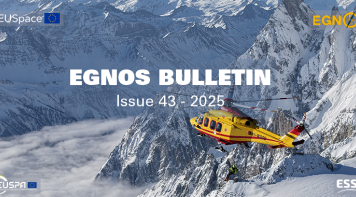
The User Consultation Platform (UCP) together with the Space Downstream Day registration is now open. The two-day event taking place 4-5…
Aviation
EGNOS was designed for aviation, and aviation continues to be a key segment for European GNSS. EGNOS increases accuracy and integrity, improving accessibility, efficiency and safety to operators, pilots and airports across Europe.
EGNOS allows lateral and angular vertical guidance during the Final Approach Segment (FAS) without requiring visual contact with the ground until a Decision Height (DH) down to only 200 feet above the runway (LPV minima as low as 200 feet).
EGNOS LPV-200 service:
- Reduces delays, diversions and cancellations thanks to the lower minima ( 200 feet), potentially reducing the operational costs for flying to those destinations.
- Increases, continuity of airport operations in case of ILS outage or maintenance.
- Enhances safety levels, as the LPV-200 procedure effectively can serve as a back-up to the ILS (and as a primary one if there is none).
- Improves efficiency of operations, lowering fuel consumption, CO2 emissions and decreasing aviation’s environmental impact.
Today, more than 460 EGNOS enabled approaches are operational in Europe and this figure will boost the implementation of the so-called Performance-Based Navigation (PNB). Consequently, European regional, business and general aviation operators are increasingly equipping their aircrafts with EGNOS-enabled avionics, allowing them to take advantage of already published procedures.
Useful links
SBAS certified (TSO 145/146) sensor/equipment manufacturers
SBAS certified (ETSO C145/C146) sensor/equipment manufacturers
EGNOS for AVIATION means
Accessibility
- Decision height reduced to as low as 200 feet
- Access to small and medium-sized airports and heliports in poor weather conditions
- Previously inaccessible approach paths are opened up
Sustainability
- Reduces noise and emissions with curved approaches and continuous descent paths
- Allows helicopter approach procedures from any direction, avoiding populated areas
Efficiency
- Offers similar performance to ILS CAT I without the need for additional infrastructure
- The lower decision height reduces costly delays, diversions and cancellations
- Gives airports a competitive edge over those offering only non-precision approaches
Safety
- Provides vertical geometric guidance and stabilized approach
- Reduces significantly the occurrence of Controlled Flight into Terrain
- Acts as a backup system for approaches into airports that already offer precision approaches
- Allows the design of more flexible and safer approach procedures for rotorcraft


Latest News


EGNOS keeps contributing to safer and more precise navigation, with 2025 marking solid progress across aviation, maritime, and rail. The…

From its beginnings as the origin of the EU Space Programme to its growing role across multiple transport sectors, EGNOS continues to…
Latest Documents

This report presents the EGNOS services performance during January 2026. The report contains global results for the reported period,…

This report presents the EGNOS services performance during December 2025. The report contains global results for the reported period,…

This report presents the EGNOS services performance during November 2025. The report contains global results for the reported period,…

