ESSP, as the EGNOS SoL service provider, together with EUSPA, responsible for the EGNOS and Copernicus programmes, are organizing a new webinar in which we will be exploring how the Copernicus Data Elevation Model can support the Flight Procedure Design community. The webinar will take place on the 6th of March 2025 at 15:30 (CET).
Join us for an insightful webinar on the Use of Copernicus Digital Elevation Model (DEM) in Flight Procedure Design. This session will explore how Copernicus DEM can support aviation by providing accurate terrain data for safe and efficient flight operations.
What we will cover:
- Regulatory Requirements – Key EU and global regulations on terrain data in aviation.
- Copernicus DEM Technical Characteristics – Understanding resolution levels and accuracy.
- Comparison with Other Terrain Data Products – How Copernicus DEM compares to existing sources.
- Applicability in Flight Procedure Design – Exploring its role and benefits in aviation.
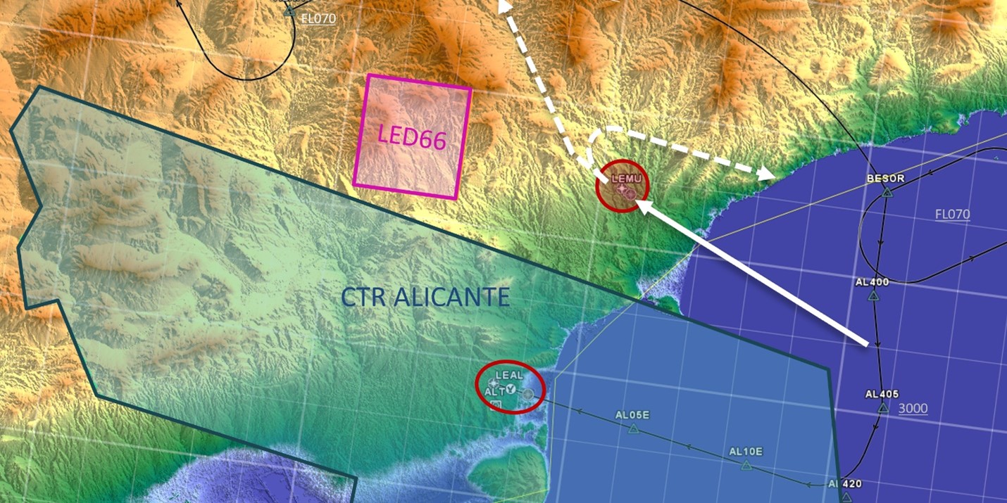
- Use Case: Copernicus vs. Other Sources – A practical example of Copernicus DEM in action.
This webinar is ideal for aviation professionals, flight procedure designers, and anyone interested in geospatial data for aviation applications.
Don’t miss this opportunity to learn from industry experts!
Click here to register for the webinar “Use of Copernicus DEM in Flight Procedure Design” on the 6th of March 2025 15:30h (CET).