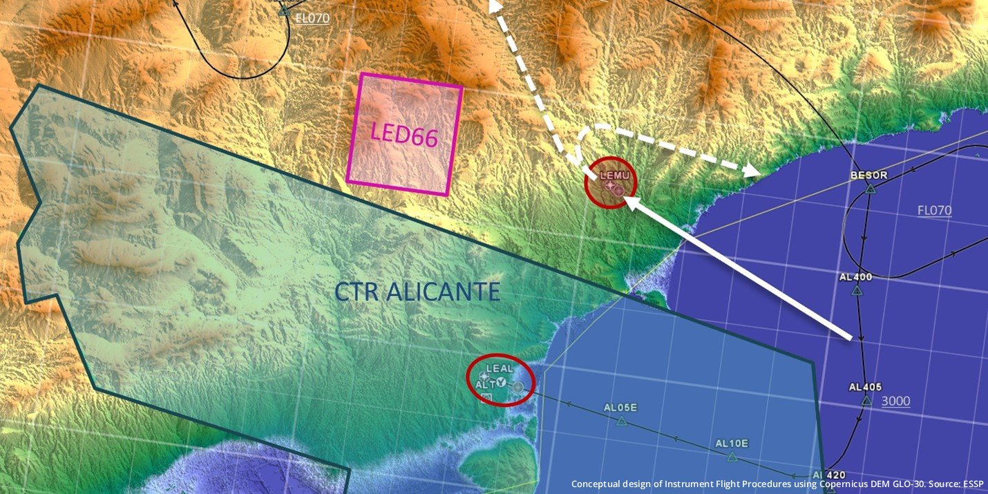
ESSP and EUSPA release high-level material to support the use of DEM produced by the Copernicus Programme for Flight Procedure Design (FPD) purposes
ESSP and the European Union Agency for the Space Programme (EUSPA), following the webinar organized in March 2025, have jointly published a guide to support a new use of the Copernicus Digital Elevation Model (DEM) GLO-30 in FPD. This high-level material aims to assist FPD professionals in accessing and utilizing surface/terrain data for the development of Instrument Flight Procedures (IFPs).
IFPs are critical to the safety and efficiency of the aviation sector, and the use of trustable and accurate terrain and obstacle data, as it is recognised by aviation regulations, is essential to ensure their quality. Based on this, this new guide highlights the Copernicus DEM GLO-30 as a reliable, high-quality, and cost-free solution for such needs.
Produced under the European Union’s Copernicus Programme, the DEM GLO-30 is a public, global dataset available through the Copernicus Data Space Ecosystem (CDSE) — the official portal for accessing Copernicus satellite imagery and related resources. Among the different instances in which the Copernicus DEM is produced, the GLO-30’s technical specifications make it particularly suitable for several stages of the FPD process, especially in regions where national datasets are unavailable or lack sufficient quality.
This publicly available and cost-free source of surface data is also particularly valuable for the implementation of Localizer Performance with Vertical Guidance (LPV) approaches at smaller airfields. These procedures are cost-effective and reliable Instrument Flight Procedures (IFP) that do not require ground-based infrastructure, while still offering high accessibility and, importantly, a level of safety comparable to Instrument Landing System (ILS).
LPV procedures represent the most accurate form of Required Navigation Performance (RNP) approaches —a rapidly expanding type of navigation worldwide— where vertical guidance is enabled by EGNOS, the European Satellite-Based Augmentation System (SBAS) provided by the European Satellite Service Provider (ESSP). Both EU space programs, EGNOS and Copernicus, are converging in applications such as FPD and IFP introduction in non-controlled airfields, leveraging all their synergies.
The guide is intended to introduce FPD organizations to the advantages of using Copernicus DEM GLO-30 as a standardized surface data source and to support professionals in acquiring the product as part of the IFP design process.
By providing free, global access to high-resolution elevation data, the Copernicus DEM GLO-30 enhances the consistency, quality, and cost-effectiveness of flight procedure design. It can be especially valuable in cross-border contexts, where harmonizing data from different national sources poses a challenge. Its adoption is expected to strengthen the confidence in, and interoperability of, IFPs across Europe and beyond.
This initiative underscores the European Union’s ongoing commitment to supporting the aviation community through open and accessible geospatial data.
Feel free to download the guide in the guidance material section of the EGNOS User Support Website. Readers are encouraged to share their feedback, ask questions, or suggest improvements for future revisions of these guidelines.

