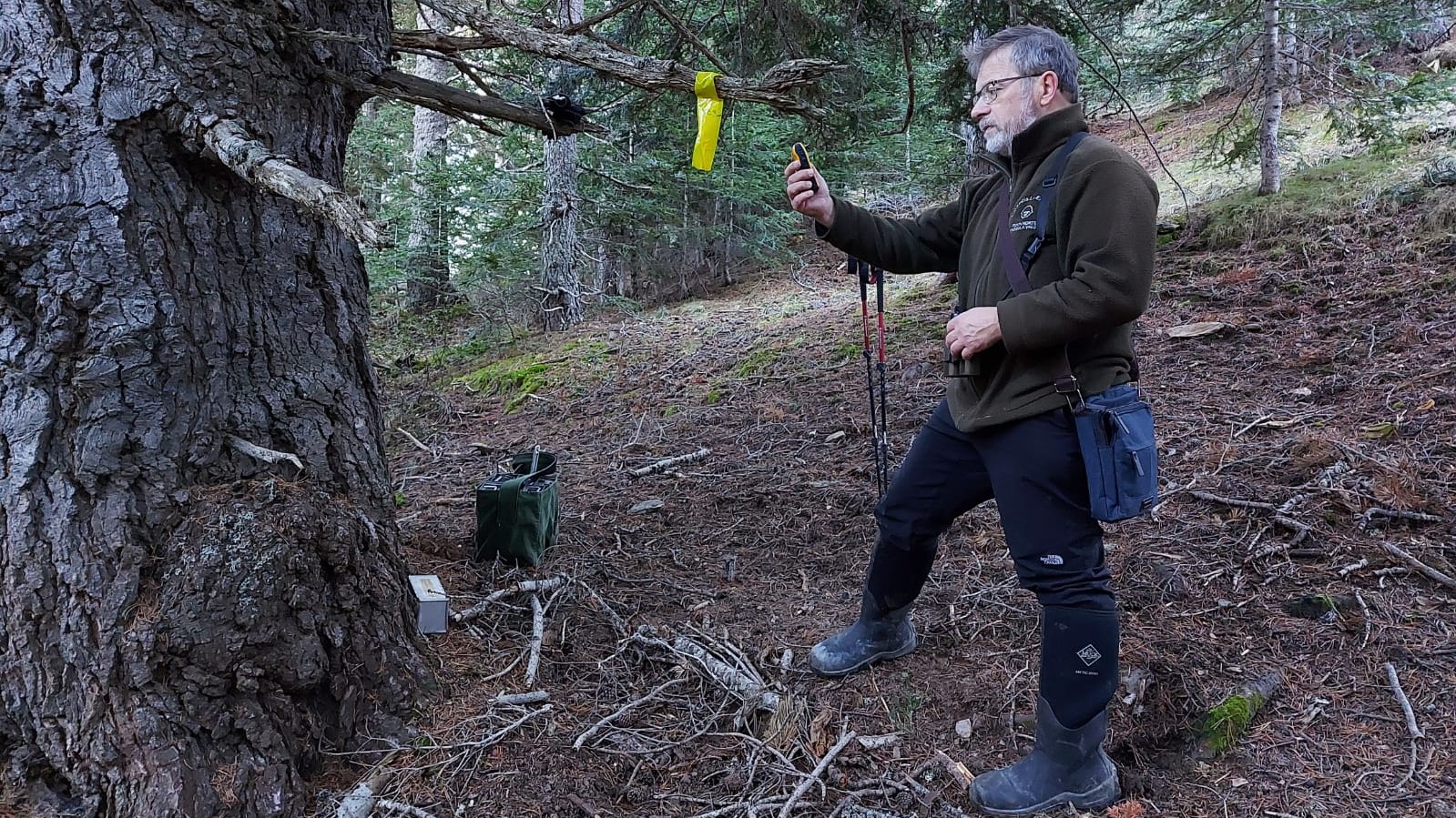
According to Europarc, the representative body of Europe’s Protected Areas, EGNOS can support these sites by providing more accurate positioning data in typical GNSS field operations related to conservation of their ecosystems and management of their infrastructures.
One of these examples is the Alt Pirineu Natural Park, which is now benefitting from EGNOS. This park was created in 2003 by the Government of Catalonia. It is the largest natural park in Catalonia, Spain, covering an area of eighty thousand hectares and it is located between the regions of Pallars Sobirà and l'Alt Urgell. It was created with a twofold objective, on the one hand to protect the extraordinary natural and monumental heritage of the area, preserving the values of an ancestral modus vivendi and; on the other hand, to contribute to the creation of a management regime aimed at achieving a sustainable development of the entire natural area.
Olga Nicolas and Elisenda Montserrat are both technicians from the Natural Heritage who are using EGNOS for fauna and flora studies and other forestry works. They have been using EGNOS for several months to increase the precision of the positioning during their field works. The activation of the EGNOS service was very easy for them as confirmed by Ms. Nicolas: “EGNOS is automatically configured in our GPS Garmin and the use is very simple”.
Having the highest peaks of the Pyrenees in Catalonia was not an obstacle for the introduction of the EGNOS technology in their activities. This service provides them with the accuracy they need at no additional cost, being an efficient tool “in the location of points, fields and transects”, as clarifies Ms. Montserrat, who is aware of the EGNOS User Support Website and the guidance material provided to EGNOS users.
In the future, they plan to continue working with EGNOS and will investigate the work with other complementary technologies such as Lidar in field surveys.

