


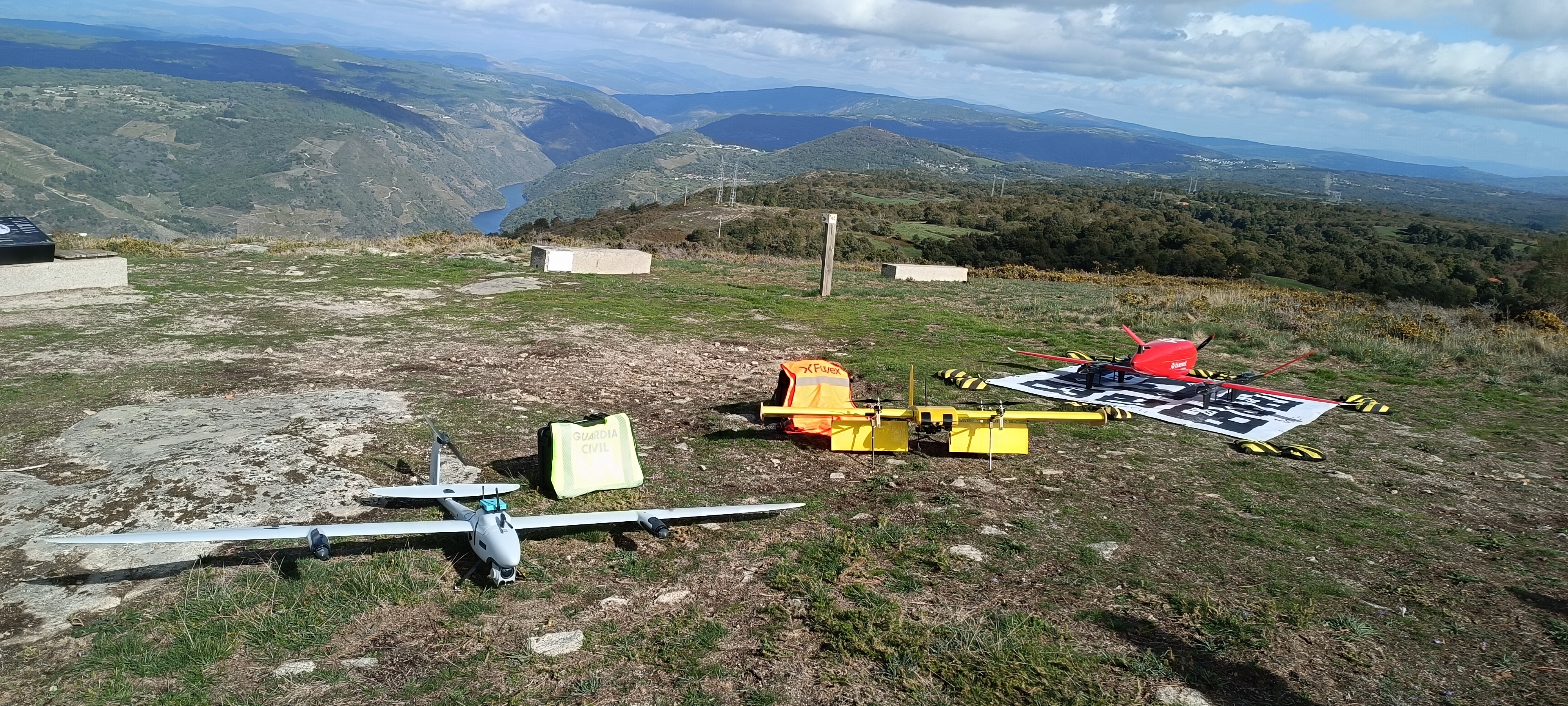
E-conspicuity tests (Guardia civil, Fuvex & Bluenest)
Eurocontrol is coordinating a series of drone flight campaigns together with EUSPA and EASA at locations across Europe to gather evidence on GNSS and EGNOS performance as well as e-conspicuity. The results will help support the safe integration of Unmanned Aircraft Systems (UAS) operations in the specific category under realistic operational scenarios, including Beyond Visual Line of Sight (BVLOS) missions in both open-sky and constrained environments.
Sponsored by the European Union Aviation Safety Agency (EASA) and the European Union Agency for the Space Programme (EUSPA), this test campaign brings together National Civil Aviation Authorities (AESA), Air Navigation Service Providers (ENAIRE), UAS operators (INECO, Bluenest, Fuvex, Frontex, Aeromedia and Umiles), along with other key players involved in UAS operations (including the Guardia Civil and Spanish Customs) and GNSS (ESSP and GSC).
ESSP develops dedicated GNSS equipment for in-flight testing
The first UAS tests took place at the Space for Commercial Innovative Aerial Services (ESCAI) in Ribeira Sacra (Galicia – Spain) on 20th and 21st of October. Fuvex, INECO and Bluenest took part in the GNSS flight activities, while other operators such as Guardia Civil, Aeromedia, Umiles and Frontex conducted tests focused on electronic conspicuity and surveillance.
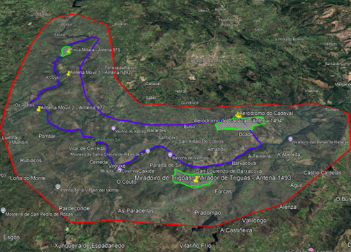
ESCAI environment - Ribeira Sacra
ESSP developed ad-hoc GNSS boxes together with EUSPA and its GNSS Service Centre (GSC) with two different types of receivers to be on board of UAS, which were designed to collect and analyse GNSS metrics using EGNOS and Galileo positioning. During the ESCAI innovation campaign, ESSP installed those GNSS boxes on board of each UAS to assess receiver position solution during flights, focusing on two locations: Pointview of Triguás and aerodrome do Cadaval.
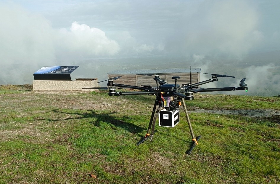
X6 Mk2 - Fuvex
Two locations offering contrasting test environments
Mirador de Triguas provided a rural test environment in the complex terrain of Ribeira Sacra. The second location, Aeródromo do Cadaval, which is an aerodrome also used for firefighting operations, offered a practical base for flight activity. For the aerodrome, as at Mirador de Triguas, AXPA Systems produced theoretical 4G coverage calculations for ground level and at 60 metres, providing a planning reference for the tests of e-conspicuity.
Together, these sites offered complementary environments in which to investigate GNSS positioning performance and assess the technologies involved in UAS operations.
The flight activities were conducted within a temporary segregated area activated through a Notice to Airmen (NOTAM), with INECO coordinating with ENAIRE. The safety assessment identified potential hazards including unauthorised aircraft entering the area, participating aircraft crossing its limits, loss of communications or command-and-control links, reduced separation from terrain or obstacles, and insufficient separation between vehicles. Planned safeguards included informing airspace users, publishing the TSA by NOTAM and coordinating with aerodromes and forest helipads in the region. Operators considered procedures for suspending activities and responding to lost control links, communications failures and emergencies. Daily briefings covered weather, participants, GNSS status, infrastructure and the flight plans.
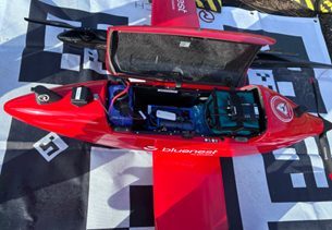
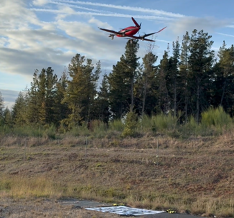
GNSS test (EIGER VTOL – Bluenest)
Assessing GNSS positioning performance
By developing and installing dedicated GNSS boxes on board the UAS, ESSP enabled the collection of positioning data under real flight conditions, complementing theoretical coverage planning with measurements gathered in the field. Jimmy Bruzual and Rodrigo Gonzalez supported the campaign by installing the GNSS equipment and assisting with the flight test activities.
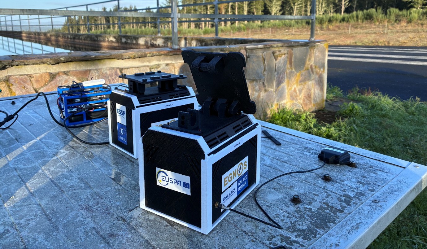
GNSS boxes developed by ESSP together with EUSPA and its GSC
These unique GNSS boxes enabled the collection of receiver’s positioning outputs during flights, using EGNOS, Galileo OS, OSNMA and HAS. ESSP will analyse GNSS observation measurements and receiver’s outputs to compute several GNSS metrics (i.e. satellites in view, DOP, Carrier to noise ratio, accuracy, availability, position alerts…). The GNSS Service Centre (GSC) will also contribute for the assessment of Galileo OSNMA & HAS performance.
The analysis will examine positioning performance across different receiver brands and positioning solutions, including EGNOS and Galileo HAS. ESSP will also assess the positioning provided by GPS receivers, comparing its accuracy with that of the GNSS navigation solutions recorded during the flights.
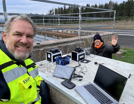
Jimmy and Rodrigo, as ESSP staff
Supporting the future of UAS operations
This UAS test campaign is a joint Eurocontrol and EUSPA initiative to bring innovative air services into real-world settings, particularly rural areas. Its UAS flight programme included several types of testing, from electronic conspicuity, U-space and GNSS navigation, including EGNOS, GALILEO OS and HAS.
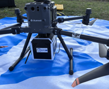
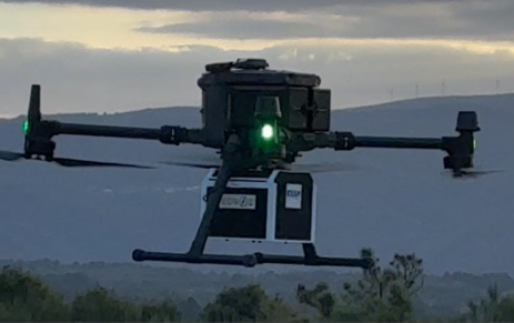
Matrice 350 - Bluenest
This collaborative initiative represents a further step towards evaluating the capabilities of European satellite navigation services in emerging aviation applications, particularly in rural and operationally challenging environments.
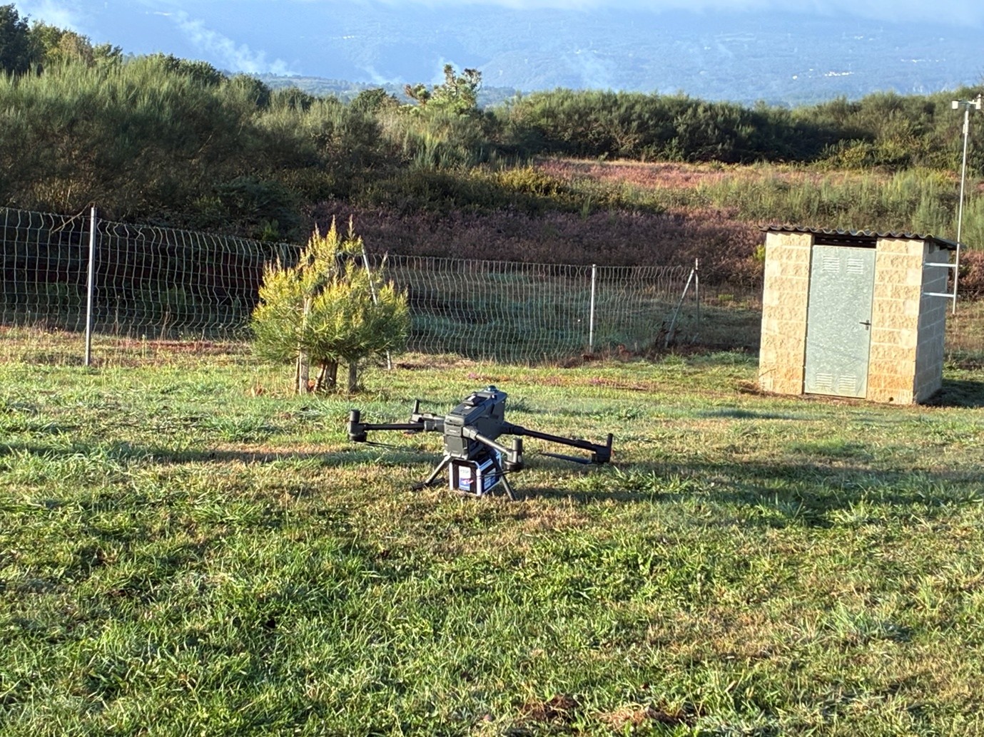
GNSS test (Matrice 400) – INECO